We need to know how much traffic Bridgeway can handle
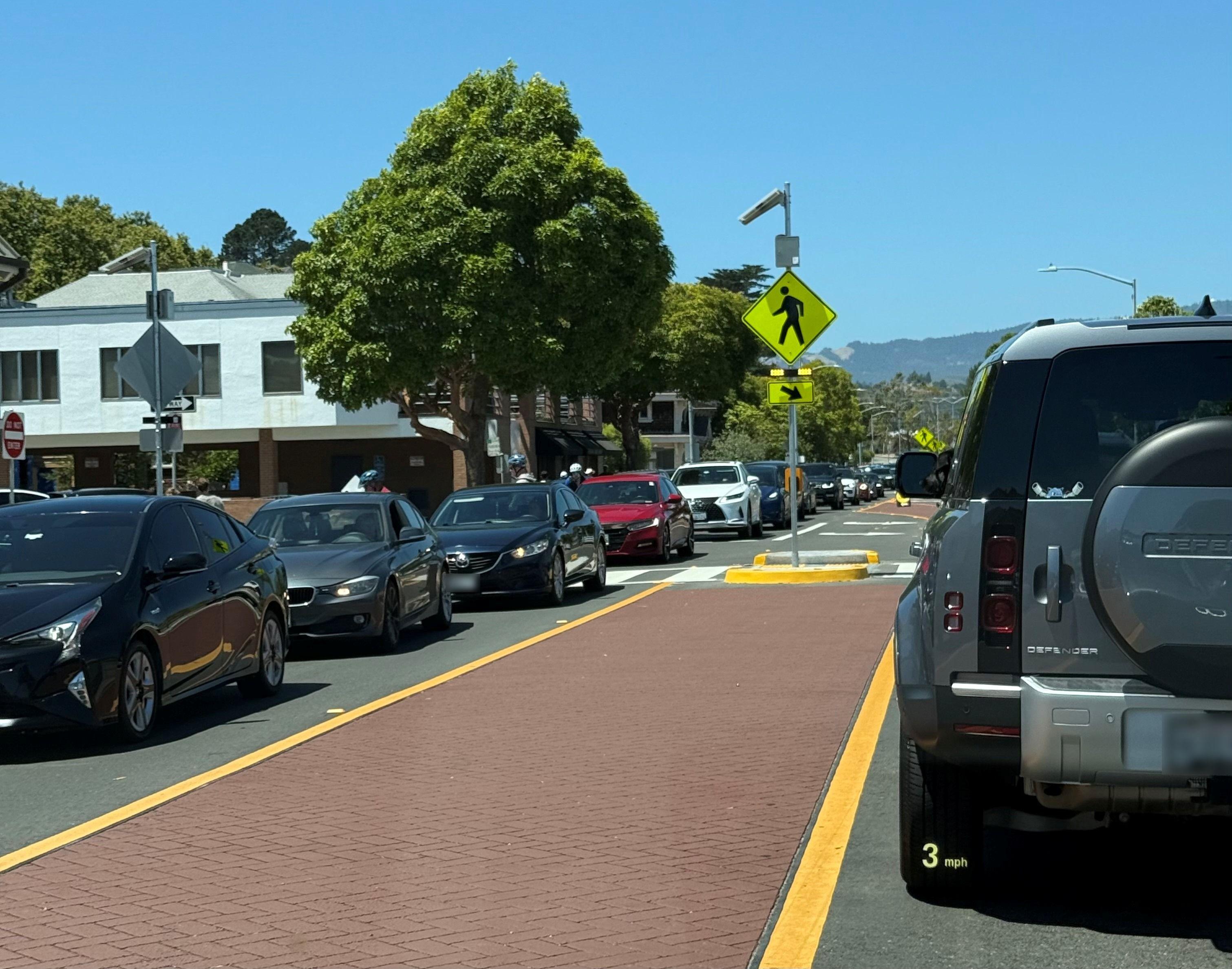
Bridgeway is already under stress
Few things degrade the quality and safety of life in Sausalito more than excessive traffic on Bridgeway. We are asking the City Council to order a comprehensive traffic and public-safety study of Bridgeway. It should account for the housing the City has already planned for, across the whole of Sausalito, and show how much traffic the road can handle. Every later decision about development depends on that answer.

Bridgeway has a fixed capacity
Bridgeway cannot be widened. There is an absolute fixed limit to how much traffic it can handle. Residents, businesses, visitors, fire engines and ambulances all share it. Sausalito should know what that limit is, so the City can use the road for what matters most to the community.
The City is planning with traffic counts from 2017
The City's last full traffic study was finished in 2020, using traffic counts from 2017. It assumed about 300 new homes across Sausalito. Since then the City has adopted a housing plan with room for 935, and voters have approved housing on twelve sites. The City has already committed to update the traffic chapter of its General Plan, as needed, for the new housing. A current study is where that work starts. The City's independent report this year described the gap. ("LOS D" is the City's minimum grade for traffic flow at intersections with signals.)
“Although no level of service analysis was completed for the Housing Element, it is possible that one or more signalized intersections could drop below LOS D with traffic entering Bridgeway directly from these projects.”
— Goldfarb & Lipman LLP, independent report to the City of Sausalito, July 16, 2026
A tool the City can keep using
Traffic engineers publish standard figures for how many trips each kind of use generates, from homes to offices to restaurants. With a current study, the City can estimate what any proposal would add to Bridgeway before deciding on it, and keep that picture up to date. Reviewing one project at a time cannot do this, because traffic is the sum of all of them. A current study gives residents, property owners and the City Council the same numbers to work from.
The case
What the study should cover
Current conditions.
New traffic counts, morning and evening, along the length of Bridgeway and at every entrance to the Marinship.
The housing already planned for.
Every Housing Element site in the city, with the accessory units and approved projects.
Emergency access.
Response times for fire and medical calls, measured under the same conditions.
A range, kept current.
A most-likely case with upper and lower bounds and the reasoning shown, updated as projects are approved.
How we got here — the full timeline▸
The record
Timeline
September 2017
Traffic is counted on Bridgeway
September 2017: these counts are the base for the City's 2020 study.
April 2020
The City's consultants report on traffic to 2040
The study assumes 210 new homes and 95 accessory units citywide, and none in the Marinship.
May 2025
The City Council adopts the amended Housing Element
It provides capacity for 935 homes and commits the City to update the circulation chapter of the General Plan.
November 2025
Voters approve Measure J
Housing is allowed on twelve sites. Six are in the Marinship.
March 2026
An application is filed for 1 Harbor Drive
294 homes on Harbor Drive in the Marinship.
July 2026
The City's independent report is published
It says an updated traffic study will be needed as Marinship development approaches 400,000 square feet.
September 2026
SOS announces the Better Way
At the debate at The Spinnaker: study traffic and flooding before more is built.
Key documents (3)▸
Take action