We supported a groundbreaking software tool to measure views
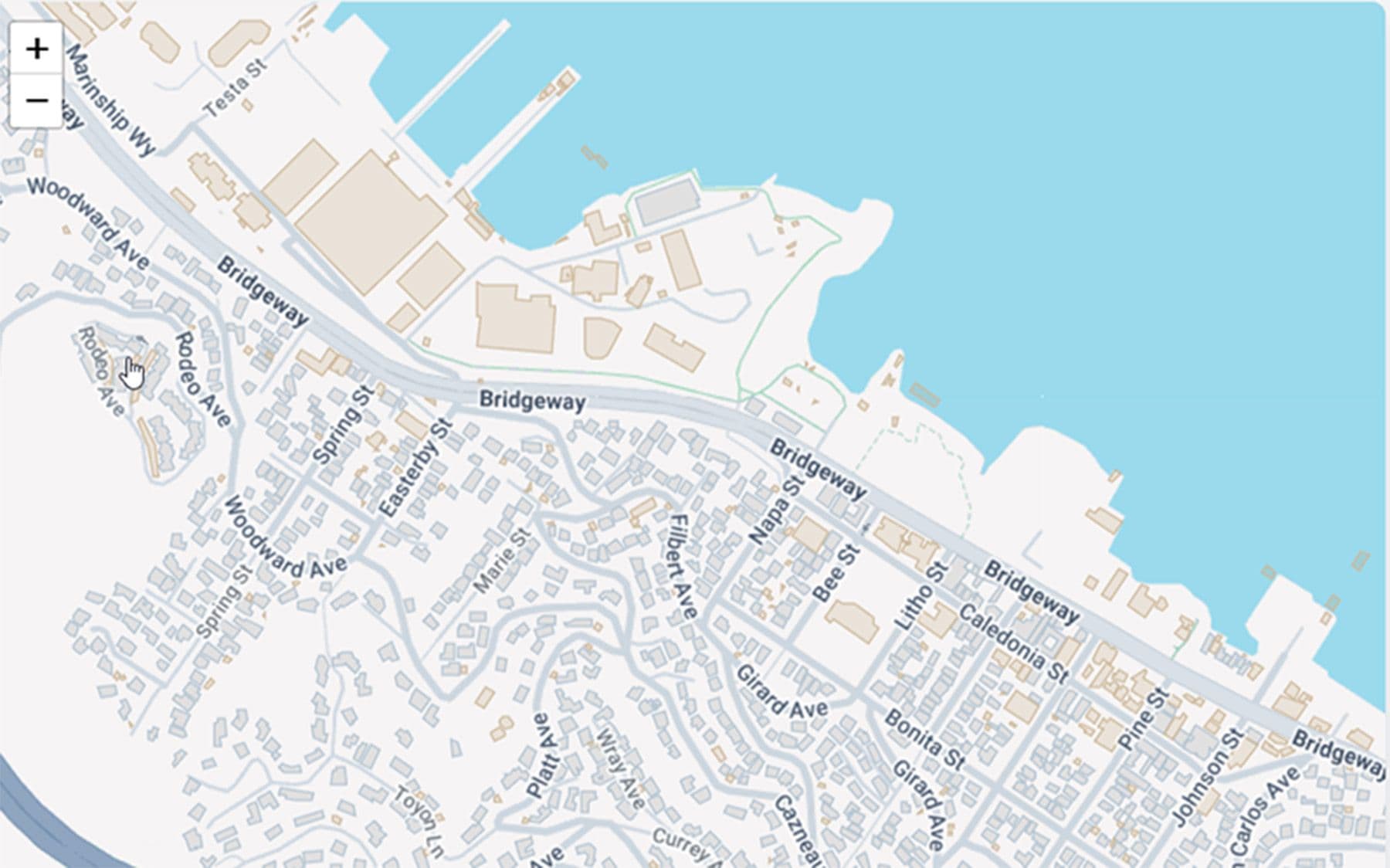
More than a year of development and advocacy and finally adoption
Goal: Give the city an objective way to measure how new projects might block resident or public views — and get it adopted into the approval process.
The state's new rules seemed to end view protection
For decades, Sausalito protected neighbors' primary views through public design review. Then the state's new Objective Design Standards stripped that discretion for larger buildings — and the city's first draft protected no views at all. A developer could meet the checklist and wall off a generations-old view, no changes required.

SOS proposed something new: a software tool to measure views objectively
Objective protection needed an objective tool. SOS rallied the city and local software developers to create a software program now called ViewSync which models the city to within six inches and draws a sightline from any home to the water and Mt Tam, showing exactly what a proposed project would block. No off-the-shelf tool could do it; without one, the standard couldn't exist.
“This is a design tool that we architects really welcome.”
— Michael Rex, architect
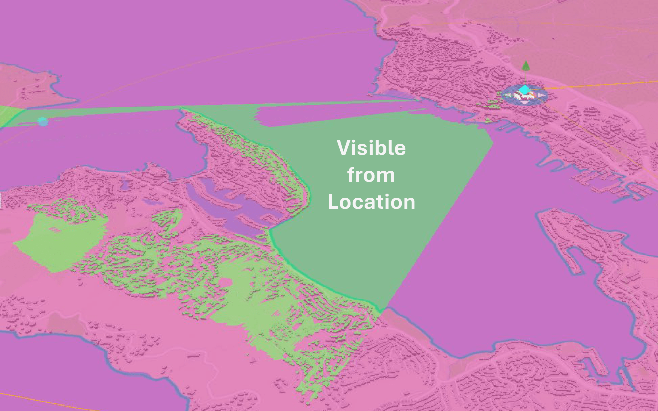
The insight: views have shapes -- shapes have sizes
Fundamentally, the software needed to calculate and measure the size of the view from the each home and then add a model the proposed building and measure again. Voila, an objective standard.
A tool only protects views once it becomes law.
Building the tool was hard, but only half the work; adopting it was next. SOS brought ViewSync to the Planning Commission, City Council and rallied the community — 63 residents at the first hearing, 115-plus more across a year of sessions. In December 2025 the Council adopted view protection 5–0; developers must now use ViewSync, and it's city law.
“This software is brilliant, and it works.”
— Vice Mayor Steven Woodside
The case
Why it mattered
It measures view impact objectively
ViewSync uses six-inch elevation data to show exactly what a proposed building would block.
The city advanced it on two tracks
The Council moved the software forward while also pressing the state — and over time it became part of the standards.
Its now available for developers
View protection in the Objective Design Standards relies on ViewSync to do the measuring.
ViewSync Timeline▸
The record
How view protection became law
September 2024
ViewSync's first public demo
SOS unveils the tool to the community — a new way to see exactly what a project would take from the view.
October 2024
The City Council takes it up
After a successful demo, the Council adopts a two-track approach — advance the software and press the state. More than 60 residents submit supportive comments.
December 2025
Adopted into law — 5–0
The Council adopts ODDS Chapter 3 — View Protection unanimously. Developers must use ViewSync before approval; view protection is now encoded in city law.
Take action